
Walking routes in Sabina
Cammino della Sibilla
A hiking route from Rieti to Tivoli through mountains, woods, medieval castles and ancient villages of Sabina. Six stages inspired by the myth of the Apennine Sibyl.
The route
Between myth and ancient paths
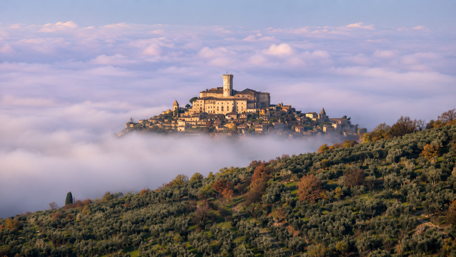
The Cammino della Sibilla is a hiking route linking Rieti with Tivoli through some of the most evocative landscapes of the Lazio Apennines: mountains, woods, medieval castles and ancient villages of Sabina.
The route unfolds over 6 stages and about 88 km, following panoramic paths and historic roads through Valle del Turano, Monti Lucretili and the Tivoli area, offering a slow experience of nature, history and local traditions.
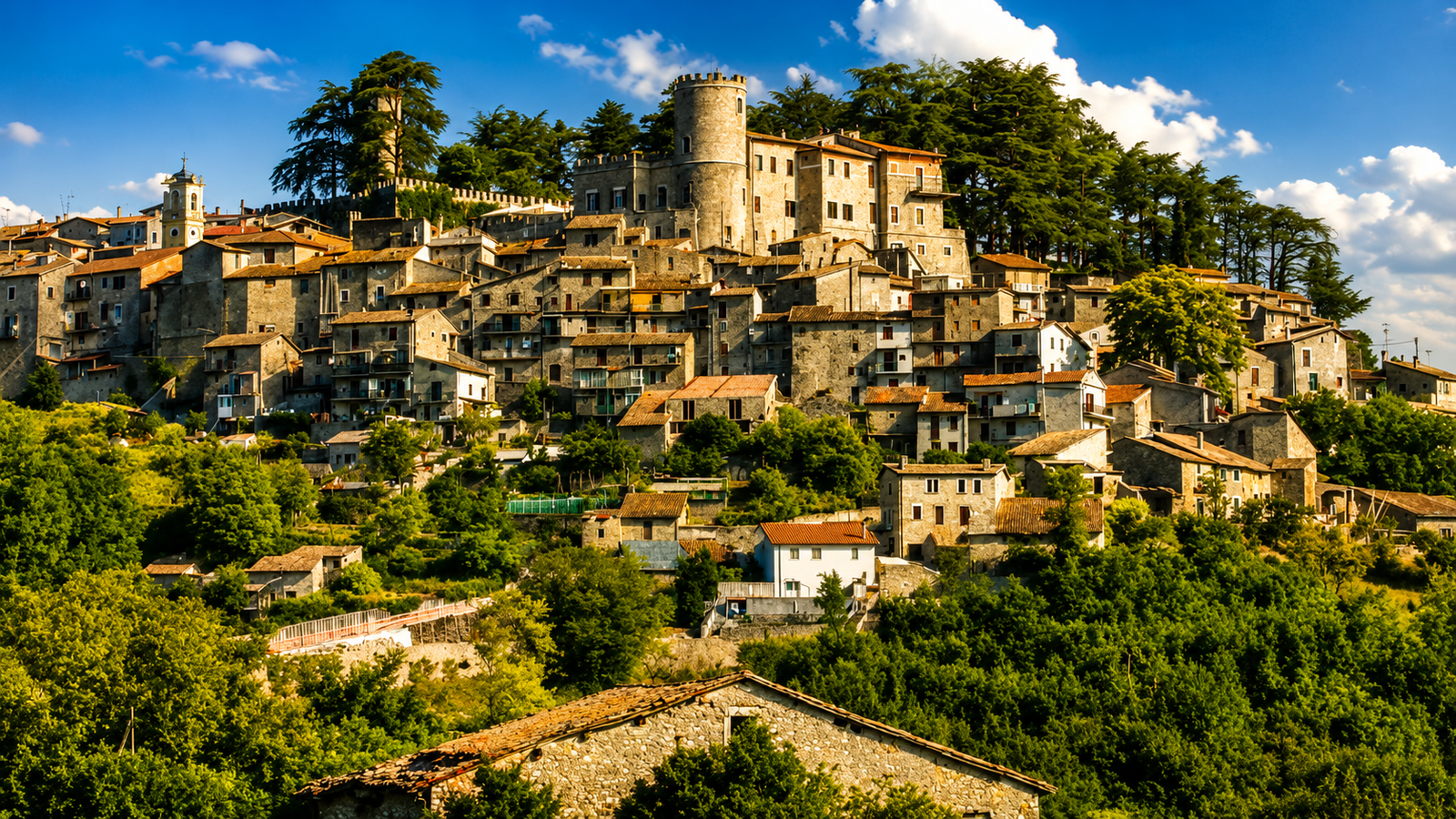
The route draws inspiration from the myth of the Apennine Sibyl, a legendary figure connected with the mountains of Central Italy and a symbol of mystery, spirituality and knowledge. Along the way it reaches historic villages such as Poggio Moiano, Orvinio, Rocca Sinibalda and San Polo dei Cavalieri, as well as castles, valleys and panoramas whose atmosphere continually changes.
About 88 km from Rieti to Tivoli
6 stages between Sabina and the Tivoli area
Monti Lucretili and the Lazio Apennines
Castles, villages and historic places
Route advice
Experience the route as a narrative journey: the Cammino della Sibilla is more than trekking. It is a passage through myth, nature and local memory, where villages, castles, mountains and woods reveal the most mysterious and profound side of Sabina.
Quick information
A useful overview for planning the Cammino della Sibilla: a hiking route of about 88 km divided into 6 stages, linking Rieti with Tivoli through historic villages, woods, valleys, castles and landscapes of the Lazio Apennines.
Length
About 88 km
A route to experience over several days between Sabina, Monti Lucretili and the Tivoli area.
Stages
6 stages
A slow route through panoramic paths, historic roads and villages with a strong identity.
Duration
6 days
Ideal for anyone wishing to complete the route at a steady pace, with stops in the villages.
Difficulty
Moderate
Requires walking experience, suitable footwear and care on mountain sections.
Landscape
Mountains and woodland
Apennine views, beech woods, pastures, valleys and the mountains of Sabina.
Start
Rieti
The route begins in the heart of the Rieti area of Sabina.
Finish
Tivoli
The route ends in the Tivoli area, linking natural landscapes with history.
Type
Trekking and nature
A hiking route through villages, castles, woods and panoramic paths.
Recommended season
Spring and autumn
Milder temperatures, vibrant landscapes and better walking conditions.
Identity
Myth and history
A route inspired by the Apennine Sibyl, through spirituality, memory and place.
Before setting out
The Cammino della Sibilla crosses panoramic paths, woods, valleys, mountain sections and historic villages. Before setting out, always check the weather, available water, waymarking, trail conditions, refreshment points and the realistic time required for each stage.
The Sibyl on the map
The main places crossed by the Cammino della Sibilla: a hiking route of about 88 km linking Rieti with Tivoli through Poggio Moiano, Orvinio, Rocca Sinibalda, Licenza and San Polo dei Cavalieri, among historic villages, castles, mountains, woods and landscapes of the Lazio Apennines.
BDS map loading
The map highlights the main stage points of the Cammino della Sibilla. It does not replace an official hiking track: before setting out, always check waymarking, trail conditions, weather, available water, realistic walking times and up-to-date information.
Frequently asked questions
Walking route FAQs
Six essential answers about the route, difficulty, best season and preparation for walking the Cammino della Sibilla.
What is the Cammino della Sibilla?
The Cammino della Sibilla is a hiking route linking Rieti with Tivoli through mountains, woods, medieval castles, historic villages and landscapes of the Lazio Apennines.
Where does the route start and finish?
The route starts in Rieti and finishes in Tivoli, crossing a broad area that includes the Rieti section of Sabina, Valle del Turano, Monti Lucretili and the Tivoli area.
How long is the Cammino della Sibilla?
The Cammino della Sibilla is about 88 km long and is divided into 6 stages. The actual distance may vary according to the chosen track, diversions and current trail conditions.
Is the Cammino della Sibilla difficult?
The overall difficulty is moderate. The route requires walking experience, hiking footwear, care on mountain sections and careful planning of water, stops, timings and return arrangements.
What is the best time of year to walk it?
Spring and autumn are the best seasons, when temperatures are milder and the landscape offers ideal walking conditions. In summer, avoid the hottest hours and plan water and stops carefully.
Should I use an up-to-date track before setting out?
Yes. The page map helps you understand the route’s main points, but it does not replace an official hiking track. Before setting out, check waymarking, weather, trail conditions and up-to-date information.

Walking routes in Sabina
Your next step starts in Sabina
From the Via di San Francesco to the routes around Turano, Salto, the Sibilla and the Borghi Sabini: compare the stages and choose the route that suits you.