
Walking routes in Sabina
Cammino dei Borghi Sabini
A circular route of about 100 km through medieval villages, historic olive groves, abbeys, hills and ancient paths. Six stages across Sabina through landscapes, history and local traditions.
The route
A circular route through the heart of Sabina
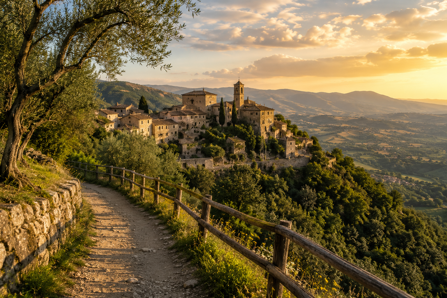
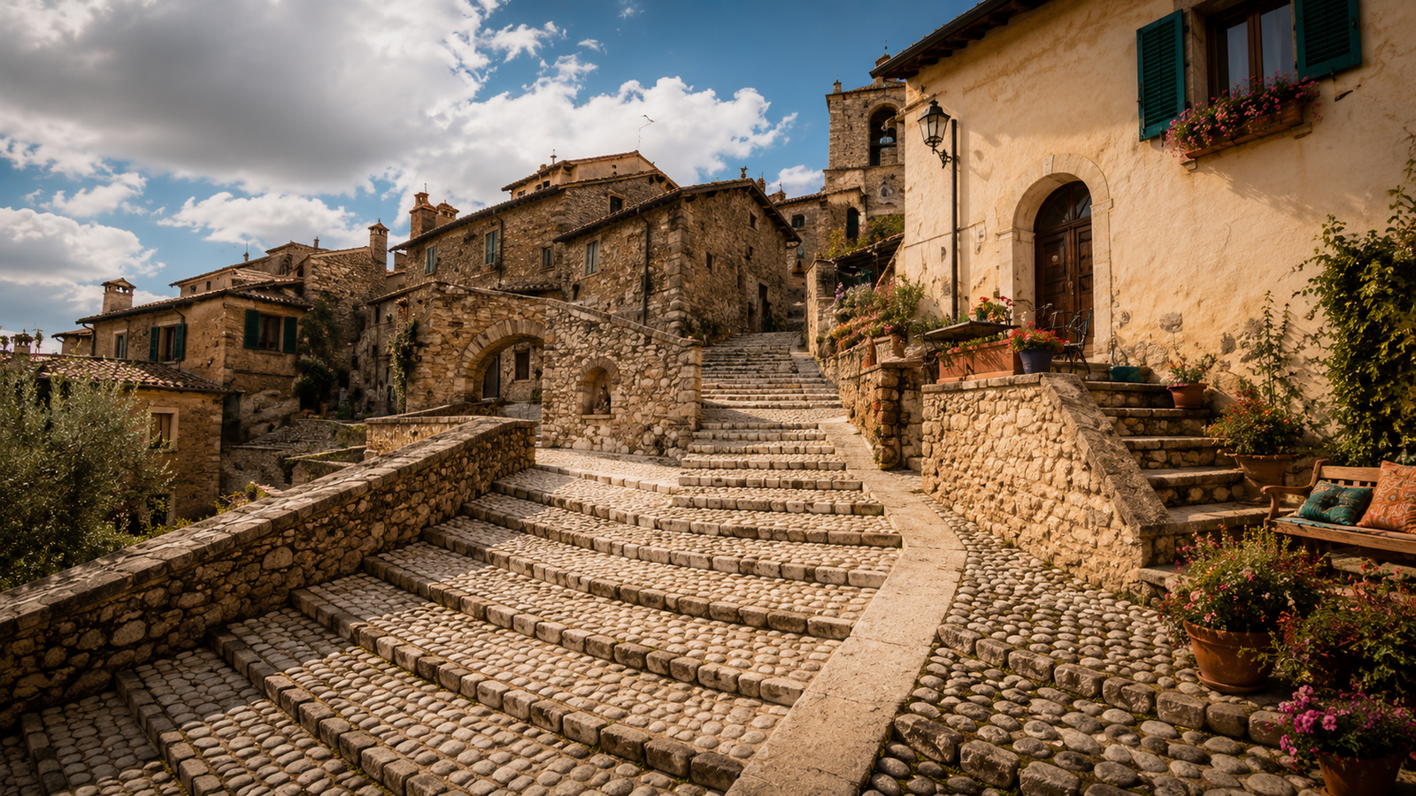
The Cammino dei Borghi Sabini is a circular route of about 100 km through the most authentic heart of Sabina Tiberina, linking medieval villages, historic olive groves, abbeys, hills and ancient paths immersed in nature.
The route unfolds over 6 stages, starting and finishing in Poggio Mirteto, and is designed for travellers seeking a slow journey through history, culture and landscape: from Castelnuovo di Farfa to Mompeo, from Roccantica to Casperia, and on to Vacone and Collevecchio.
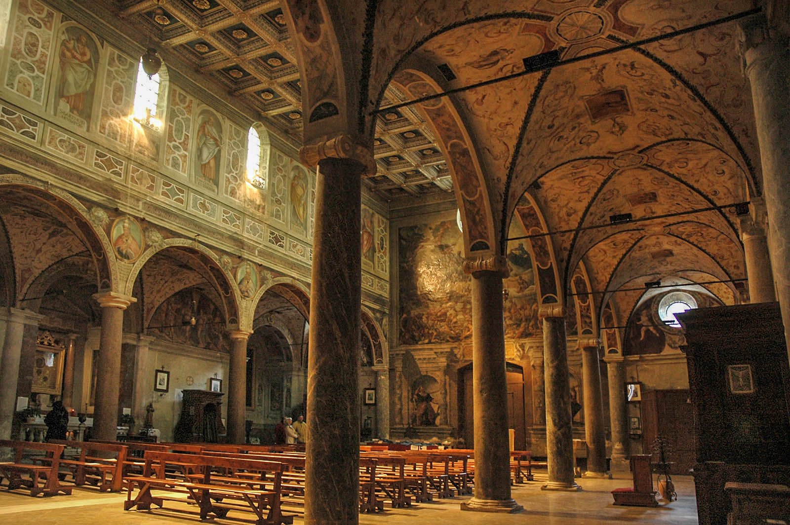
Along the route you encounter landmarks such as Farfa Abbey, ancient ways connected with the memory of the Sabines and the worship of the goddess Vacuna, views across the Tiber valley, Mediterranean woodland, historic parish churches and stone-built centres that preserve the identity of the area.
Circular route of about 100 km
6 stages in Sabina
Historic centres and abbeys
Olive groves, paths and nature
Route advice
Walk it over several days: the Cammino dei Borghi Sabini is not simply a distance to complete, but a way to enter the landscapes, historic centres, olive groves and oldest memories of Sabina.
Quick information
A useful overview for planning the Cammino dei Borghi Sabini: a circular route of about 100 km divided into 6 stages, through Poggio Mirteto, Farfa, Roccantica, Casperia, Vacone, Tarano, Collevecchio and the most authentic landscapes of Sabina Tiberina.
Length
About 100 km
A circular route to experience over several days, one stage at a time.
Stages
6 stages
A slow itinerary through historic centres, hills, olive groves and rural paths.
Duration
6 days
Ideal for anyone who wants to complete the full circuit without rushing.
Difficulty
Moderate
Requires walking experience, suitable footwear and good management of each stage.
Landscape
Hills and olive groves
Gravel roads, mule tracks, panoramic paths and Sabina countryside.
Start
Poggio Mirteto
The starting point of the circuit, with convenient connections from Rome.
Finish
Poggio Mirteto
The route closes by returning to its original starting point.
Type
Villages and nature
A cultural, natural and rural walking route through the heart of Sabina.
Recommended season
Spring and autumn
Milder temperatures, green landscapes and ideal walking conditions.
Connections
Fiumicino–Orte railway line
Convenient for reaching the area and planning individual stages as well.
Before setting out
The Cammino dei Borghi Sabini follows secondary roads, rural paths, olive groves and hilly sections. Before setting out, always check the weather, available water, trail conditions, refreshment points and the realistic time required for each stage.
The route on the map
The main places crossed by the Cammino dei Borghi Sabini: a circular route starting and finishing in Poggio Mirteto and passing through Farfa, Castelnuovo di Farfa, Mompeo, Montenero Sabino, Roccantica, Casperia, Vacone, Tarano, Collevecchio and Sabina Tiberina.
BDS map loading
The map highlights the main places along the Cammino dei Borghi Sabini and the locations reached by its 6-stage circuit. It does not replace an official hiking track: before setting out, always check route conditions, weather, waymarking, available water and up-to-date information.
Frequently asked questions
Walking route FAQs
Six essential answers about the route, difficulty, best season and preparation for walking the Cammino dei Borghi Sabini.
What is the Cammino dei Borghi Sabini?
The Cammino dei Borghi Sabini is a circular route through Sabina Tiberina and some of its most distinctive places. It links medieval villages, historic olive groves, abbeys, hills, rural paths and sites connected with the area’s ancient memory.
Where does the route start and finish?
The route starts and finishes in Poggio Mirteto. Because it is circular, walkers return to the original starting point after crossing several stages and locations in Sabina.
How long is the Cammino dei Borghi Sabini?
The complete route is about 100 km long. It is divided into 6 stages designed to be walked over several days, with timings that vary according to pace, stops and trail conditions.
Is the route difficult?
The overall difficulty is moderate. The route follows secondary roads, rural paths, hilly sections, olive groves and old mule tracks, so a basic level of fitness, suitable footwear and careful stage planning are recommended.
What is the best time of year to walk it?
Spring and autumn are the best seasons, when temperatures are milder and the Sabina landscape offers colours, light and conditions better suited to walking. In summer, avoid the hottest hours and plan water and stops carefully.
Should I check the track before setting out?
Yes. Even though the route is waymarked, always check the track, weather, trail conditions, available water, refreshment points and realistic walking times. The map on this page is useful for orientation, but it does not replace an official hiking track.

Walking routes in Sabina
Your next step starts in Sabina
From the Via di San Francesco to the routes around Turano, Salto, the Sibilla and the Borghi Sabini: compare the stages and choose the route that suits you.