
Walking routes in Sabina
Walking route del Salto
A circular route through water, mountains and the villages of Cicolano, where Lago del Salto accompanies the walk through woods, mountain roads, hidden villages and views of inland Lazio.
The route
Among deep waters in the heart of Cicolano
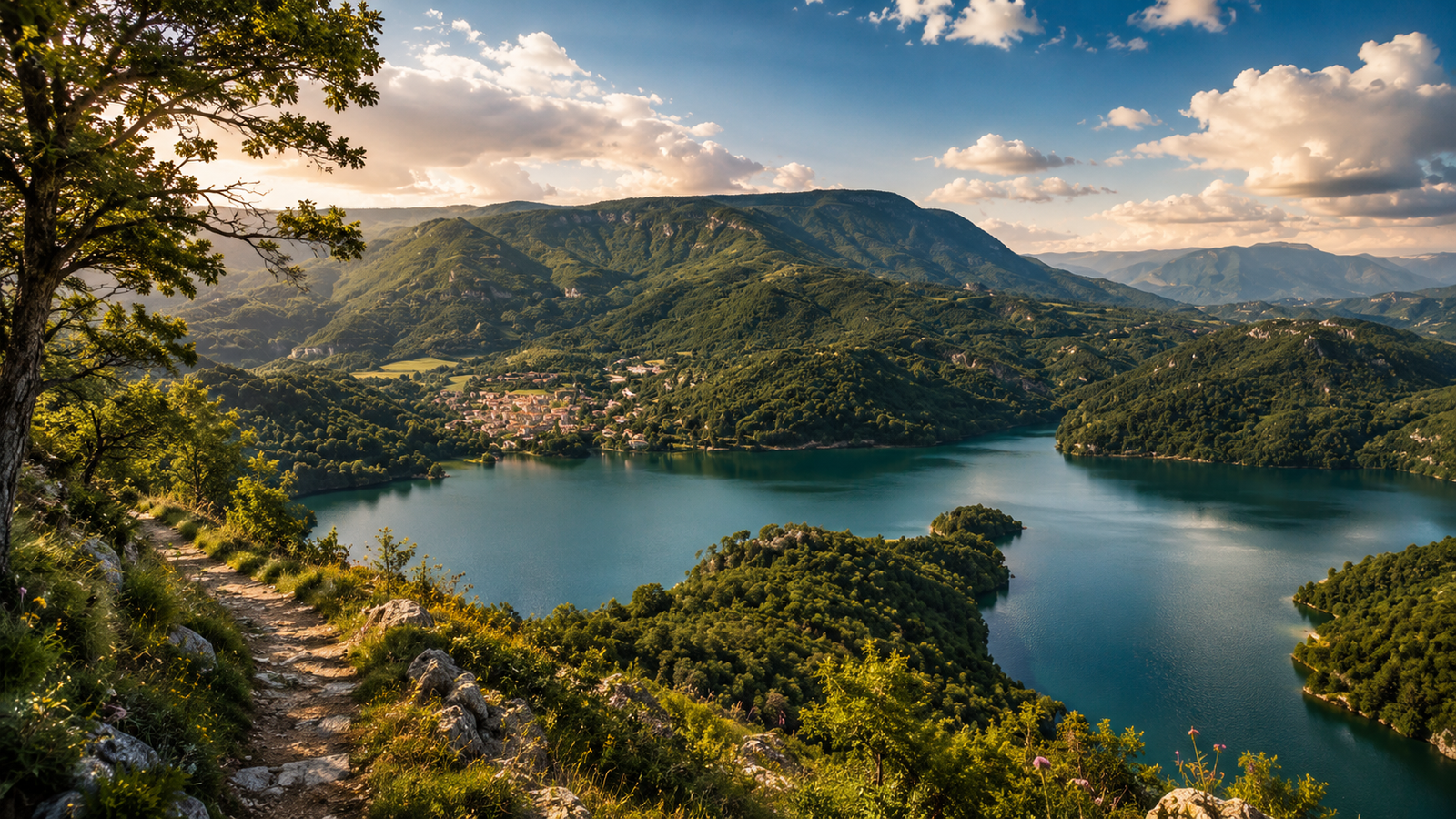
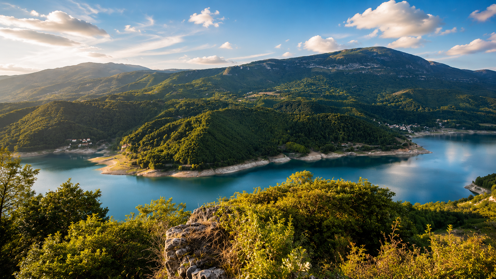
The Cammino del Salto is a circular route of about 100 km through some of the most spectacular and lesser-known landscapes of the Lazio Apennines, among mountains, woods, historic villages and continuous views of Lago del Salto.
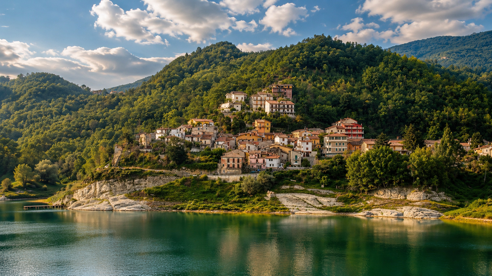
The route unfolds over 6 stages in the Cicolano area, linking places such as Fiamignano, Petrella Salto, Varco Sabino and Pescorocchiano through paths immersed in nature, forestry roads, mule tracks and old mountain ways.
Along the route you encounter views across the vast artificial basin of Lago del Salto, quiet woods, open valleys, small historic centres and landmarks such as Rocca Vittiana, the landscapes of Monte Navegna and memories connected with the story of Beatrice Cenci.
Circular route of about 100 km
6 stages in Cicolano
Views of Lago del Salto
Woods, ridges and nature
Route advice
Walk it at a slow pace: the Cammino del Salto is ideal for anyone seeking trekking, unspoilt nature, silence and authentic landscapes, far from the busiest tourist routes and immersed in the wildest heart of inland Lazio.
Quick information
A useful overview for planning the Cammino del Salto: a circular route of about 100 km divided into 6 stages, through Lago del Salto, mountains, woods, historic villages and the authentic landscapes of Cicolano and the Lazio Apennines.
Length
About 100 km
A circular route to experience over several days, among the lake, mountains and villages.
Stages
6 stages
A slow itinerary through panoramic paths, valleys and old mountain roads.
Duration
6 days
Ideal for anyone who wants to complete the circuit calmly, away from fast tourism.
Difficulty
Moderate
Requires walking experience, suitable footwear and care on mountain sections.
Landscape
Lake and mountains
Views of Lago del Salto, woods, ridges and the valleys of Cicolano.
Territory
Cicolano
The route crosses one of the most authentic and least crowded areas of inland Lazio.
Landmarks
Rocca Vittiana
One of the route’s most evocative places, connected with the history and landscape of the lake.
Type
Natural
An immersive route through water, woods, mountains and small historic centres.
Recommended season
Spring and autumn
Milder temperatures, ideal light and better walking conditions.
Experience
Silence and nature
A route for those seeking authentic landscapes, peace and slow travel on foot.
Before setting out
The Cammino del Salto crosses panoramic paths, forestry roads, mule tracks and mountain sections. Before setting out, always check the weather, available water, trail conditions, refreshment points, waymarking and the realistic time required for each stage.
Lago del Salto on the map
The main points along the Cammino del Salto: a circular route through Peschieta, Fiamignano, Petrella Salto, Varco Sabino, Monte Navegna, Ospanesco and the mountain landscapes surrounding Lago del Salto.
BDS map loading
The map highlights the main stage points of the Cammino del Salto. It does not replace an official hiking track: before setting out, always check the weather, available water, trail conditions, waymarking, refreshment points and up-to-date information.
Frequently asked questions
Walking route FAQs
Six essential answers about the route, difficulty, best season and preparation for walking the Cammino del Salto.
What is the Cammino del Salto?
The Cammino del Salto is a circular route through the Lago del Salto area and Cicolano, among panoramic paths, woods, mountains, small historic centres and continuous views of the lakeside landscape.
Where does the route start and finish?
The route is designed as a circuit. On the page map, Peschieta is the main reference point and is marked as both the start and finish, with links towards Fiamignano, Petrella Salto, Varco Sabino, Monte Navegna and Ospanesco.
How long is the Cammino del Salto?
The complete route is about 100 km long and is divided into 6 stages. Distances may vary according to the chosen track, diversions, trail conditions and stops made along the way.
Is the route difficult?
The overall difficulty is moderate, with some more demanding sections. Walking experience, hiking footwear, careful water management and attention to weather and trail conditions are recommended.
What is the best time of year to walk it?
Spring and autumn are the best seasons, when temperatures are more suitable for walking and the landscapes offer ideal colours and light. In summer, avoid the hottest hours and plan water, shade and stops carefully.
Do I need an up-to-date track?
Yes. The map on this page helps you understand the main points of the route, but it does not replace an official hiking track. Before setting out, always check the track, waymarking, weather and current trail conditions.

Walking routes in Sabina
Your next step starts in Sabina
From the Via di San Francesco to the routes around Turano, Salto, the Sibilla and the Borghi Sabini: compare the stages and choose the route that suits you.